2 thoughts on “No hiding for polluters as carbon-tracking satellite numbers rise”
“a sharp rise from 100 ppm in the pre industrial era”?
I thought that figure was 270-280 ppm.
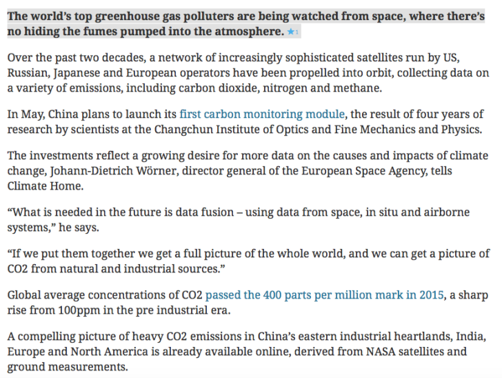
Since 97% of the CO2 emitted is natural in origin and 3% is from combustion of fossil fuels, it’s not going to be a walk in the park to separate natural from man made. Here is a link to Scientific American showing where CO2 concentrations are highest, http://www.scientificamerican.com/article/first-maps-from-carbon-monitoring-satellite-show-global-co2-levels/ On the other hand, here is an image of urban “light polution” which shows where the greatest industrial development is, http://www.ehatlas.ca/built-environments/light-pollution Note that the south central African continent and South America Amazon regions have some of the highest CO2 concentrations but also some of the lowest levels of light polution.
Leave a Reply
Discover more from JunkScience.com
Subscribe now to keep reading and get access to the full archive.
“a sharp rise from 100 ppm in the pre industrial era”?
I thought that figure was 270-280 ppm.
Since 97% of the CO2 emitted is natural in origin and 3% is from combustion of fossil fuels, it’s not going to be a walk in the park to separate natural from man made. Here is a link to Scientific American showing where CO2 concentrations are highest, http://www.scientificamerican.com/article/first-maps-from-carbon-monitoring-satellite-show-global-co2-levels/ On the other hand, here is an image of urban “light polution” which shows where the greatest industrial development is, http://www.ehatlas.ca/built-environments/light-pollution Note that the south central African continent and South America Amazon regions have some of the highest CO2 concentrations but also some of the lowest levels of light polution.